| Item Detail |
| |
| |
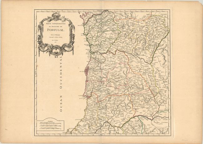
MapMaker: |
Gilles Robert de Vaugondy
|
|
| |
| |
Subject: |
Northern Portugal |
|
| |
Period/Size: |
1751 / 19.0" x 20.4" (48.3 x 51.9 cm)
|
|
| |
Color: |
Colored
|
|
| |
Condition: |
(B+) A sharp impression with contemporary color on watermarked paper with an archivally repaired edge tear at top that just barely crosses the neatline, a few minor spots, and light marginal toning. (condition help) |
|
| |
Source: |
Atlas Universel |
|
| |
References: |
Pedley #319. |
|
| |
|
|
| Sales Information |
| |
| |
Price: |
|
|
| |
| |
Offered by: |
Old World Auctions |
|
| |
Catalog: |
Auction No. 189 - Antique Maps, Charts, Atlases & Globes (9559) |
|
| |
Lot/Item #: |
468 |
|
| |
| |
Date: |
09/2022
|
|
| |
| |
|