| Item Detail |
| |
| |
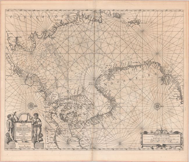
MapMaker: |
Jan Jansson
|
|
| |
| |
Subject: |
North Sea |
|
| |
Period/Size: |
1659 / 17.1" x 21.7" (43.5 x 55.2 cm)
|
|
| |
Color: |
Black & White
|
|
| |
Condition: |
(B+) A crisp impression with some light uneven toning and several small centerfold separations that have been archivally repaired on verso. (condition help) |
|
| |
Source: |
Atlantis Majoris Quinta Pars Orbem Maritimum (Atlas Novus) |
|
| |
References: |
Tooley (MCC-71) #350; Van der Krogt (Vol. I) #0200:1. |
|
| |
|
|
| Sales Information |
| |
| |
Price: |
|
|
| |
| |
Offered by: |
Old World Auctions |
|
| |
Catalog: |
Auction No. 189 - Antique Maps, Charts, Atlases & Globes (9559) |
|
| |
Lot/Item #: |
402 |
|
| |
| |
Date: |
09/2022
|
|
| |
| |
|