Title:
“Atlas Nouveau de l'Empire d'Allemagne avec la Discription Geographiques & un Table pour Trouver Facilement les Villes &c.”
Map Maker:
Sanson/Mortier
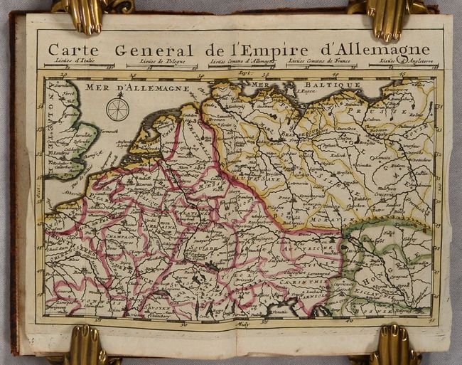
This scarce small volume focuses on the German Emp... (full text available to subscribers)
| Item Detail |
| |
| |
MapMaker: |
Sanson/Mortier
|
|
| |
| |
Subject: |
Central Europe, Germany |
|
| |
Period/Size: |
1708 / 6.7" x 4.1" (17.1 x 10.5 cm)
|
|
| |
Color: |
Colored
|
|
| |
Condition: |
(B+) The maps are clean and bright with contemporary outline color. Several maps have short centerfold separations at bottom or old manuscript notations. The general map has a tear at right that has been closed with archival tape on verso. The text has (condition help) |
|
| |
Source: |
|
|
| |
References: |
|
|
| |
|
|
| Sales Information |
| |
| |
Price: |
|
|
| |
| |
Offered by: |
Old World Auctions |
|
| |
Catalog: |
Auction No. 189 - Antique Maps, Charts, Atlases & Globes (9559) |
|
| |
Lot/Item #: |
470 |
|
| |
| |
Date: |
09/2022
|
|
| |
| |
|
Antique Maps - Valuation and Pricing, Descriptions, Resources |
|
Home |
Information |
Search |
Register |
Contact Us |
Site Map
Americana Exchange, Inc. © 1999 - 2024 Americana Exchange, Inc.. All rights reserved.
OldMaps.com, the OldMaps.com logo and
AMPR are service marks or registered service marks of Americana Exchange, Inc..
|