Title:
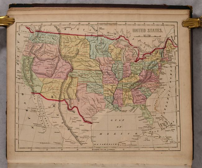
“Morse's General Atlas of the World. Containing Seventy Maps, Drawn and Engraved from the Latest and Best Authorities”
Map Maker:
Charles W. Morse
This complete atlas contains 71 cerographic maps o... (full text available to subscribers)
| Item Detail |
| |
| |
MapMaker: |
Charles W. Morse
|
|
| |
| |
Subject: |
Atlases |
|
| |
Period/Size: |
1856 / 16.9" x 14.3" (43.0 x 36.4 cm)
|
|
| |
Color: |
Colored
|
|
| |
Condition: |
(B+) The maps are very good with light toning and offsetting, and minor soiling. The maps of Australia and the Pacific Ocean have vertical creases, and the map of North Carolina has a small chip in the bottom blank margin and associated tiny tear that ju (condition help) |
|
| |
Source: |
|
|
| |
References: |
Phillips (Atlases) #817. |
|
| |
|
|
| Sales Information |
| |
| |
Price: |
|
|
| |
| |
Offered by: |
Old World Auctions |
|
| |
Catalog: |
Auction No. 189 - Antique Maps, Charts, Atlases & Globes (9559) |
|
| |
Lot/Item #: |
735 |
|
| |
| |
Date: |
09/2022
|
|
| |
| |
|
Antique Maps - Valuation and Pricing, Descriptions, Resources |
|
Home |
Information |
Search |
Register |
Contact Us |
Site Map
Americana Exchange, Inc. © 1999 - 2024 Americana Exchange, Inc.. All rights reserved.
OldMaps.com, the OldMaps.com logo and
AMPR are service marks or registered service marks of Americana Exchange, Inc..
|