Title:
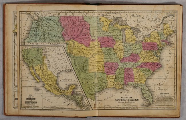
“Mitchell's School Atlas: Comprising the Maps, Etc., Designed to Illustrate Mitchell's School and Family Geography”
Map Maker:
Thomas, Cowperthwait & Co.
Mitchell's famous school atlas is complete with 28... (full text available to subscribers)
| Item Detail |
| |
| |
MapMaker: |
Thomas, Cowperthwait & Co.
|
|
| |
| |
Subject: |
School Atlases |
|
| |
Period/Size: |
1847 / 12.1" x 9.8" (30.8 x 24.9 cm)
|
|
| |
Color: |
Colored
|
|
| |
Condition: |
(B) The maps are good to very good with light toning and soiling, minor foxing, and occasional pencil notations on the versos. Text block is partially loose with the upper stitches missing. Covers are moderately worn and soiled. (condition help) |
|
| |
Source: |
|
|
| |
References: |
|
|
| |
|
|
| Sales Information |
| |
| |
Price: |
|
|
| |
| |
Offered by: |
Old World Auctions |
|
| |
Catalog: |
Auction No. 189 - Antique Maps, Charts, Atlases & Globes (9559) |
|
| |
Lot/Item #: |
740 |
|
| |
| |
Date: |
09/2022
|
|
| |
| |
|
Antique Maps - Valuation and Pricing, Descriptions, Resources |
|
Home |
Information |
Search |
Register |
Contact Us |
Site Map
Americana Exchange, Inc. © 1999 - 2024 Americana Exchange, Inc.. All rights reserved.
OldMaps.com, the OldMaps.com logo and
AMPR are service marks or registered service marks of Americana Exchange, Inc..
|