| Item Detail |
| |
| |
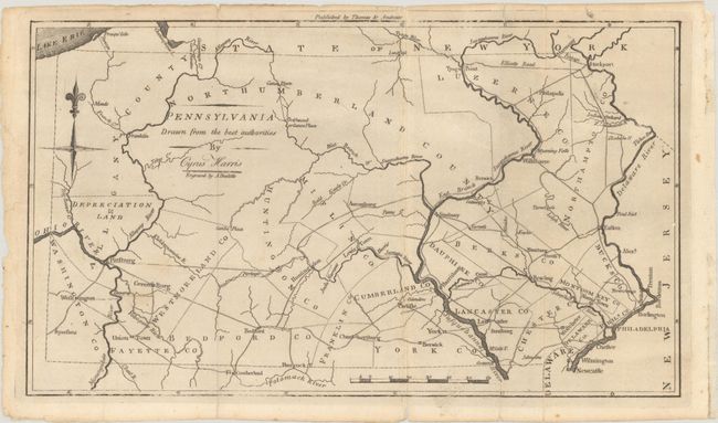
MapMaker: |
Rev. Jedidiah Morse
|
|
| |
| |
Subject: |
Pennsylvania |
|
| |
Period/Size: |
1796 / 7.6" x 13.3" (19.3 x 33.8 cm)
|
|
| |
Color: |
Black & White
|
|
| |
Condition: |
(B+) A dark impression, issued folding with light soiling, some extraneous creasing, and a few short fold separations and tiny tears that have been closed on verso with archival tape. (condition help) |
|
| |
Source: |
The American Universal Geography |
|
| |
References: |
McCorkle (18th C. Geography Books) #304-9; Phillips (Maps) p. 697; Wheat & Brun #446. |
|
| |
|
|
| Sales Information |
| |
| |
Price: |
|
|
| |
| |
Offered by: |
Old World Auctions |
|
| |
Catalog: |
Auction No. 189 - Antique Maps, Charts, Atlases & Globes (9559) |
|
| |
Lot/Item #: |
258 |
|
| |
| |
Date: |
09/2022
|
|
| |
| |
|