| Item Detail |
| |
| |
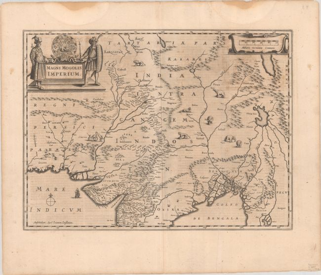
MapMaker: |
Jan Jansson
|
|
| |
| |
Subject: |
Southern Asia |
|
| |
Period/Size: |
1644 / 14.4" x 19.4" (36.6 x 49.3 cm)
|
|
| |
Color: |
Black & White
|
|
| |
Condition: |
(B) A dark impression on a lightly toned sheet with a bit of offsetting, an extraneous vertical crease at right, and damp stains confined to the top margin. (condition help) |
|
| |
Source: |
Novus Atlas |
|
| |
References: |
Van der Krogt (Vol. II) #8300:1.2. |
|
| |
|
|
| Sales Information |
| |
| |
Price: |
|
|
| |
| |
Offered by: |
Old World Auctions |
|
| |
Catalog: |
Auction No. 191 - Antique Maps, Charts, Atlases & Globes (9561) |
|
| |
Lot/Item #: |
719 |
|
| |
| |
Date: |
02/2023
|
|
| |
| |
|