| Item Detail |
| |
| |
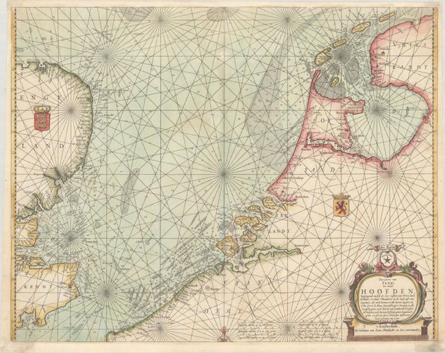
MapMaker: |
Jan van Loon
|
|
| |
| |
Subject: |
North Sea |
|
| |
Period/Size: |
1661 / 17.0" x 21.8" (43.2 x 55.4 cm)
|
|
| |
Color: |
Colored
|
|
| |
Condition: |
(A) A crisp impression on a bright sheet, professionally remargined at top and bottom with a minor amount of the neatline replaced in facsimile. (condition help) |
|
| |
Source: |
Klaer Lichtende Noort-Star ofte Zee Atlas... |
|
| |
References: |
Shirley (BL Atlases) M.LOON-1a. |
|
| |
|
|
| Sales Information |
| |
| |
Price: |
|
|
| |
| |
Offered by: |
Old World Auctions |
|
| |
Catalog: |
Auction No. 191 - Antique Maps, Charts, Atlases & Globes (9561) |
|
| |
Lot/Item #: |
488 |
|
| |
| |
Date: |
02/2023
|
|
| |
| |
|