Title:
“Black's General Atlas: A Series of Fifty-Four Maps from the Latest and Most Authentic Sources, Engraved on Steel, in the First Style of the Art”
Map Maker:
Adam & Charles. Black
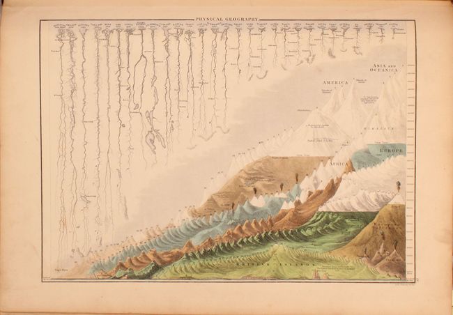
This atlas contains fifty four maps including the ... (full text available to subscribers)
| Item Detail |
| |
| |
MapMaker: |
Adam & Charles. Black
|
|
| |
| |
Subject: |
Atlases |
|
| |
Period/Size: |
1840 / 17.8" x 13.0" (45.3 x 33.1 cm)
|
|
| |
Color: |
Colored
|
|
| |
Condition: |
(B) The maps are overall good to very good with light toning, scattered foxing, and occasional soiling. The map of England/Wales has a long centerfold separation extending through two-thirds of the sheet, and the map of Scotland has a chip/edge tear just (condition help) |
|
| |
Source: |
|
|
| |
References: |
|
|
| |
|
|
| Sales Information |
| |
| |
Price: |
|
|
| |
| |
Offered by: |
Old World Auctions |
|
| |
Catalog: |
Auction No. 191 - Antique Maps, Charts, Atlases & Globes (9561) |
|
| |
Lot/Item #: |
823 |
|
| |
| |
Date: |
02/2023
|
|
| |
| |
|
Antique Maps - Valuation and Pricing, Descriptions, Resources |
|
Home |
Information |
Search |
Register |
Contact Us |
Site Map
Americana Exchange, Inc. © 1999 - 2024 Americana Exchange, Inc.. All rights reserved.
OldMaps.com, the OldMaps.com logo and
AMPR are service marks or registered service marks of Americana Exchange, Inc..
|