| Item Detail |
| |
| |
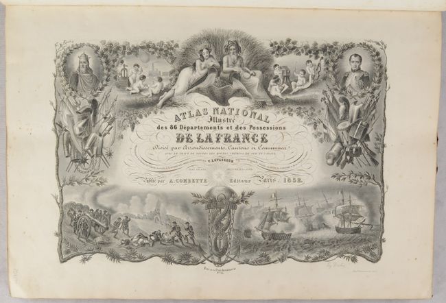
MapMaker: |
Victor Levasseur
|
|
| |
| |
Subject: |
France, Atlases |
|
| |
Period/Size: |
1852 / 21.3" x 14.8" (54.1 x 37.6 cm)
|
|
| |
Color: |
Colored
|
|
| |
Condition: |
(A) The maps are clean and bright with contemporary outline color, occasional light soiling in the margins, and minor toning along the edges of the sheet. The covers are soiled and worn with chipped corners and some small abrasions. The spine is worn an (condition help) |
|
| |
Source: |
|
|
| |
References: |
|
|
| |
|
|
| Sales Information |
| |
| |
Price: |
|
|
| |
| |
Offered by: |
Old World Auctions |
|
| |
Catalog: |
Auction No. 191 - Antique Maps, Charts, Atlases & Globes (9561) |
|
| |
Lot/Item #: |
519 |
|
| |
| |
Date: |
02/2023
|
|
| |
| |
|