| Item Detail |
| |
| |
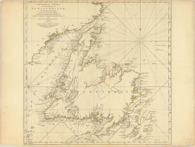
MapMaker: |
Jefferys/Sayer & Bennett
|
|
| |
| |
Subject: |
Newfoundland, Canada |
|
| |
Period/Size: |
1775 / 21.4" x 22.0" (54.4 x 55.9 cm)
|
|
| |
Color: |
Colored
|
|
| |
Condition: |
(B+) A nice impression with contemporary outline color on a sheet with a large Strasburg Lily watermark and trimmed just within the neatline at top by the bookbinder. There are several archivally repaired tears, including a couple of 1" tears near the ce (condition help) |
|
| |
Source: |
The American Atlas |
|
| |
References: |
Shirley (BL Atlases) T.JEF-2a #12. |
|
| |
|
|
| Sales Information |
| |
| |
Price: |
|
|
| |
| |
Offered by: |
Old World Auctions |
|
| |
Catalog: |
Auction No. 191 - Antique Maps, Charts, Atlases & Globes (9561) |
|
| |
Lot/Item #: |
114 |
|
| |
| |
Date: |
02/2023
|
|
| |
| |
|