| Item Detail |
| |
| |
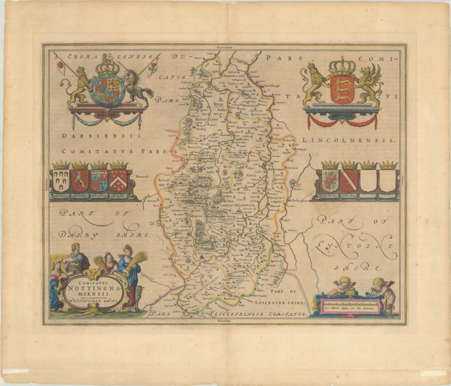
MapMaker: |
Johannes Blaeu
|
|
| |
| |
Subject: |
Central England |
|
| |
Period/Size: |
1646 / 15.1" x 19.5" (38.4 x 49.6 cm)
|
|
| |
Color: |
Colored
|
|
| |
Condition: |
(B+) A dark impression with light printer's ink residue, scattered foxing, and light toning. There is an extraneous crease at bottom and two pieces of tape where the map was folded for framing. There is tape along the top edge of the sheet on verso. (condition help) |
|
| |
Source: |
|
|
| |
References: |
Van der Krogt (Vol. II) #5335:2. |
|
| |
|
|
| Sales Information |
| |
| |
Price: |
|
|
| |
| |
Offered by: |
Old World Auctions |
|
| |
Catalog: |
Auction No. 191 - Antique Maps, Charts, Atlases & Globes (9561) |
|
| |
Lot/Item #: |
468 |
|
| |
| |
Date: |
02/2023
|
|
| |
| |
|