| Item Detail |
| |
| |
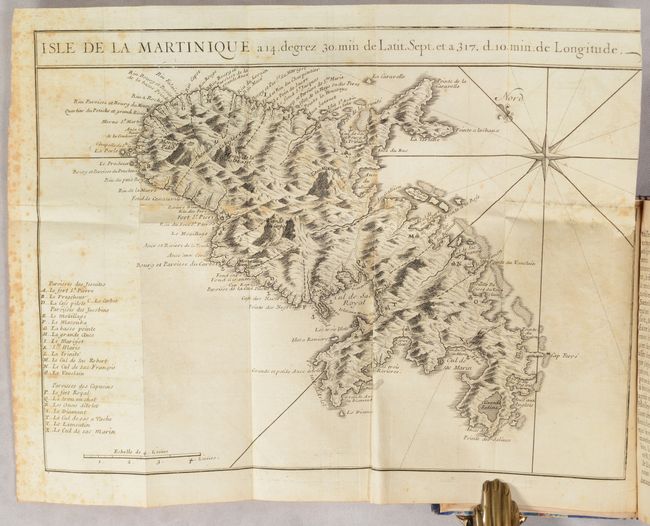
MapMaker: |
J. B. Labat
|
|
| |
| |
Subject: |
Martinique, North America |
|
| |
Period/Size: |
1722 / 6.4" x 3.9" (16.3 x 9.9 cm)
|
|
| |
Color: |
Black & White
|
|
| |
Condition: |
() See description above for condition of folding maps. Text has some light toning and foxing. Covers have light wear, bumped corners, and minor cracking along the joint. Rebound. Maps (B/B+), Binding (B+) (condition help) |
|
| |
Source: |
|
|
| |
References: |
Sabin #38409. |
|
| |
|
|
| Sales Information |
| |
| |
Price: |
|
|
| |
| |
Offered by: |
Old World Auctions |
|
| |
Catalog: |
Auction No. 191 - Antique Maps, Charts, Atlases & Globes (9561) |
|
| |
Lot/Item #: |
396 |
|
| |
| |
Date: |
02/2023
|
|
| |
| |
|