Title:
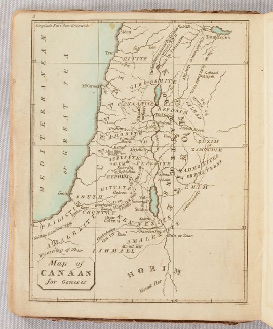
“Bible Atlas; Consisting of Nine Maps, with Explanations: Illustrative of Scripture History. Designed for the Use of Children and Youth”
Map Maker:
N. & S.S. Jocelyn
This rare small atlas is the earliest American bib... (full text available to subscribers)
| Item Detail |
| |
| |
MapMaker: |
N. & S.S. Jocelyn
|
|
| |
| |
Subject: |
Holy Land, Atlas |
|
| |
Period/Size: |
1819 / 5.4" x 4.4" (13.8 x 11.2 cm)
|
|
| |
Color: |
Colored
|
|
| |
Condition: |
(B+) The maps are very good with occasional light offsetting and a few rust spots mainly in the upper margins. Wrappers are lightly soiled. Paper dust jacket is split along the spine with front half detached and rear half nearly detached. (condition help) |
|
| |
Source: |
|
|
| |
References: |
|
|
| |
|
|
| Sales Information |
| |
| |
Price: |
|
|
| |
| |
Offered by: |
Old World Auctions |
|
| |
Catalog: |
Auction No. 191 - Antique Maps, Charts, Atlases & Globes (9561) |
|
| |
Lot/Item #: |
649 |
|
| |
| |
Date: |
02/2023
|
|
| |
| |
|
Antique Maps - Valuation and Pricing, Descriptions, Resources |
|
Home |
Information |
Search |
Register |
Contact Us |
Site Map
Americana Exchange, Inc. © 1999 - 2024 Americana Exchange, Inc.. All rights reserved.
OldMaps.com, the OldMaps.com logo and
AMPR are service marks or registered service marks of Americana Exchange, Inc..
|