| Item Detail |
| |
| |
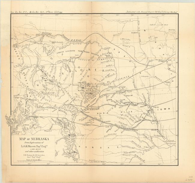
MapMaker: |
U.S. War Department
|
|
| |
| |
Subject: |
Central United States, Great Plains |
|
| |
Period/Size: |
1858 / 9.2" x 10.4" (23.4 x 26.5 cm)
|
|
| |
Color: |
Black & White
|
|
| |
Condition: |
(B+) Issued folding and now flattened and backed with tissue. There is light toning mostly along the vertical fold, a bit of offsetting, and a binding trim at upper left that has been replaced with old paper. (condition help) |
|
| |
Source: |
Sen. Ex. Doc. 1, 35th Congress, 2nd Session |
|
| |
References: |
Wheat (TMW) #937. |
|
| |
|
|
| Sales Information |
| |
| |
Price: |
|
|
| |
| |
Offered by: |
Old World Auctions |
|
| |
Catalog: |
Auction No. 191 - Antique Maps, Charts, Atlases & Globes (9561) |
|
| |
Lot/Item #: |
202 |
|
| |
| |
Date: |
02/2023
|
|
| |
| |
|