| Item Detail |
| |
| |
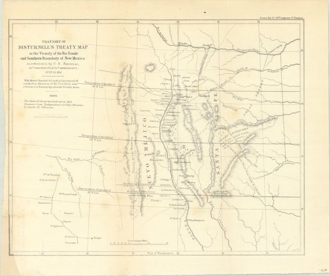
MapMaker: |
U.S. Gov.
|
|
| |
| |
Subject: |
Southwestern United States |
|
| |
Period/Size: |
1851 / 8.8" x 11.0" (22.4 x 28.0 cm)
|
|
| |
Color: |
Black & White
|
|
| |
Condition: |
(B) Issued folding with faint scattered foxing. There is a binding trim at lower left that was cut to inside the border and has been replaced in facsimile (from another map). (condition help) |
|
| |
Source: |
Sen. Ex. Doc. 55, 33rd Congress, 2nd Session |
|
| |
References: |
Koepp, CIS 626, map #4; Wheat (TMW) #720. |
|
| |
|
|
| Sales Information |
| |
| |
Price: |
|
|
| |
| |
Offered by: |
Old World Auctions |
|
| |
Catalog: |
Auction No. 191 - Antique Maps, Charts, Atlases & Globes (9561) |
|
| |
Lot/Item #: |
230 |
|
| |
| |
Date: |
02/2023
|
|
| |
| |
|