| Item Detail |
| |
| |
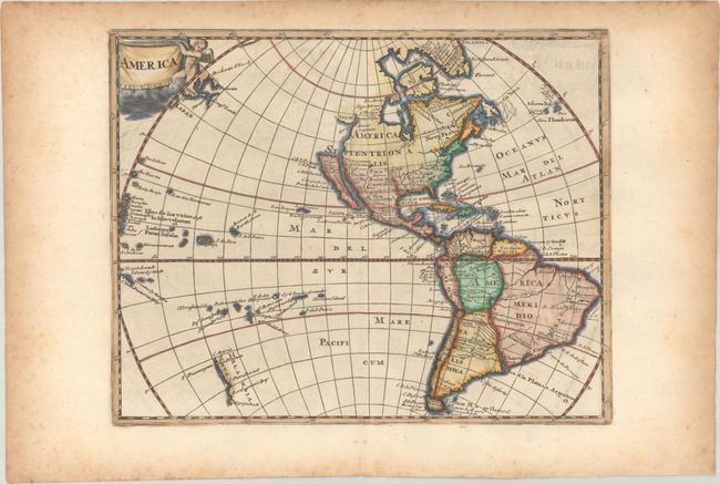
MapMaker: |
Philipp Cluver
|
|
| |
| |
Subject: |
Western Hemisphere - America |
|
| |
Period/Size: |
1729 / 8.2" x 10.3" (20.9 x 26.2 cm)
|
|
| |
Color: |
Colored
|
|
| |
Condition: |
(A) A dark impression with minor offsetting and a tiny wormhole that is only visible when held up to light. Light foxing and toning is confined to the sheet's edges, well away from map image. (condition help) |
|
| |
Source: |
Introductio in Universam Geographicam |
|
| |
References: |
Burden #732; McLaughlin #177; Shirley (BL Atlases) T.CLUV-8a #43. |
|
| |
|
|
| Sales Information |
| |
| |
Price: |
|
|
| |
| |
Offered by: |
Old World Auctions |
|
| |
Catalog: |
Auction No. 191 - Antique Maps, Charts, Atlases & Globes (9561) |
|
| |
Lot/Item #: |
77 |
|
| |
| |
Date: |
02/2023
|
|
| |
| |
|