| Item Detail |
| |
| |
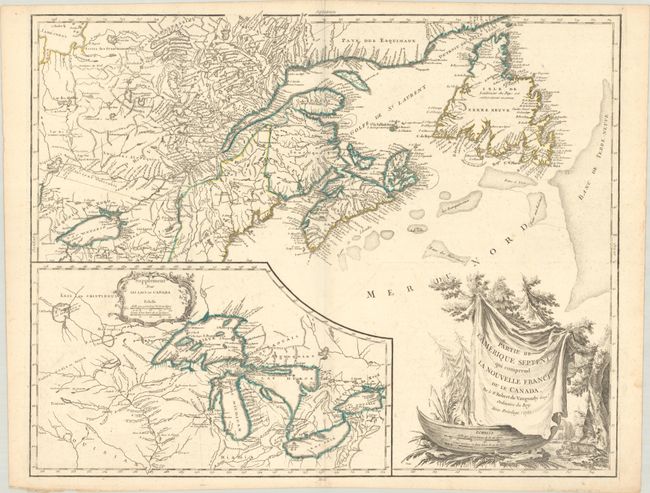
MapMaker: |
Didier Robert de Vaugondy
|
|
| |
| |
Subject: |
Colonial Northeastern United States & Canada, Great Lakes |
|
| |
Period/Size: |
1755 / 19.1" x 23.8" (48.6 x 60.5 cm)
|
|
| |
Color: |
Colored
|
|
| |
Condition: |
(B+) Contemporary outline color on a bright sheet with a medallion watermark, minor offsetting, light scattered foxing, and a printer's crease along centerfold. (condition help) |
|
| |
Source: |
Atlas Universel |
|
| |
References: |
Karpinski p.141-42; cf. Kershaw #356; McCorckle #755.36; Pedley #459; Sellers and Van Ee #61. |
|
| |
|
|
| Sales Information |
| |
| |
Price: |
|
|
| |
| |
Offered by: |
Old World Auctions |
|
| |
Catalog: |
Auction No. 191 - Antique Maps, Charts, Atlases & Globes (9561) |
|
| |
Lot/Item #: |
136 |
|
| |
| |
Date: |
02/2023
|
|
| |
| |
|