| Item Detail |
| |
| |
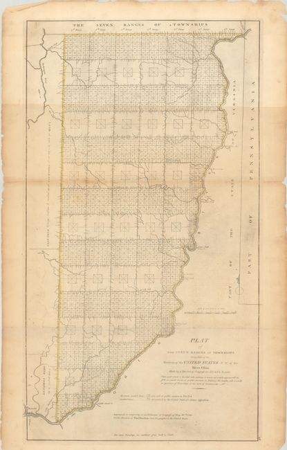
MapMaker: |
Capt. Thomas Hutchins
|
|
| |
| |
Subject: |
Eastern Ohio |
|
| |
Period/Size: |
1814 / 24.0" x 13.6" (61.0 x 34.6 cm)
|
|
| |
Color: |
Colored
|
|
| |
Condition: |
(B) Issued folding with minor toning, faint offsetting, and a bit of printer's ink residue. There are two short fold separations that have been closed on verso with archival tape. (condition help) |
|
| |
Source: |
Carey's General Atlas |
|
| |
References: |
Phillips (Atlases) #722-28; cf. Wheat & Brun #677. |
|
| |
|
|
| Sales Information |
| |
| |
Price: |
|
|
| |
| |
Offered by: |
Old World Auctions |
|
| |
Catalog: |
Auction No. 191 - Antique Maps, Charts, Atlases & Globes (9561) |
|
| |
Lot/Item #: |
318 |
|
| |
| |
Date: |
02/2023
|
|
| |
| |
|