| Item Detail |
| |
| |
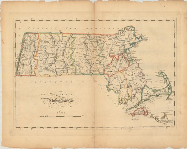
MapMaker: |
Mathew Carey
|
|
| |
| |
Subject: |
Massachusetts |
|
| |
Period/Size: |
1814 / 12.3" x 17.9" (31.3 x 45.5 cm)
|
|
| |
Color: |
Colored
|
|
| |
Condition: |
(B) There is light toning along the centerfold, faint offsetting, and small chips and tears along the edges of the sheet. Centerfold separations at top (1.25") and bottom (2") have been closed on verso with archival tape. (condition help) |
|
| |
Source: |
Carey's General Atlas |
|
| |
References: |
Phillips (Atlases) #1372-9. |
|
| |
|
|
| Sales Information |
| |
| |
Price: |
|
|
| |
| |
Offered by: |
Old World Auctions |
|
| |
Catalog: |
Auction No. 191 - Antique Maps, Charts, Atlases & Globes (9561) |
|
| |
Lot/Item #: |
285 |
|
| |
| |
Date: |
02/2023
|
|
| |
| |
|