| Item Detail |
| |
| |
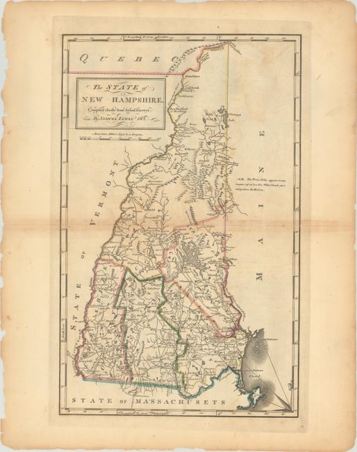
MapMaker: |
Lewis/Carey
|
|
| |
| |
Subject: |
New Hampshire |
|
| |
Period/Size: |
1813 / 17.7" x 11.1" (45.0 x 28.2 cm)
|
|
| |
Color: |
Colored
|
|
| |
Condition: |
(B) A strong impression with some toning along the centerfold, faint offsetting, and small chips and tears along the edges of the sheet. There are centerfold separations at right and left that have been archivally repaired. (condition help) |
|
| |
Source: |
Carey's General Atlas |
|
| |
References: |
Cobb (NH) #89; Phillips (A) #1372-7. |
|
| |
|
|
| Sales Information |
| |
| |
Price: |
|
|
| |
| |
Offered by: |
Old World Auctions |
|
| |
Catalog: |
Auction No. 191 - Antique Maps, Charts, Atlases & Globes (9561) |
|
| |
Lot/Item #: |
300 |
|
| |
| |
Date: |
02/2023
|
|
| |
| |
|