| Item Detail |
| |
| |
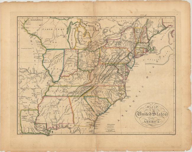
MapMaker: |
Mathew Carey
|
|
| |
| |
Subject: |
Eastern United States |
|
| |
Period/Size: |
1814 / 13.2" x 17.3" (33.6 x 44.0 cm)
|
|
| |
Color: |
Colored
|
|
| |
Condition: |
(B) The map was completely separated along the centerfold and skillfully rejoined with archival tape. There is a bit of loss along the lower centerfold, light toning, minor foxing, and small chips and tears along the edges of the sheet. (condition help) |
|
| |
Source: |
Carey's General Atlas |
|
| |
References: |
Phillips (Atlases) #1372-5. |
|
| |
|
|
| Sales Information |
| |
| |
Price: |
|
|
| |
| |
Offered by: |
Old World Auctions |
|
| |
Catalog: |
Auction No. 191 - Antique Maps, Charts, Atlases & Globes (9561) |
|
| |
Lot/Item #: |
169 |
|
| |
| |
Date: |
02/2023
|
|
| |
| |
|