| Item Detail |
| |
| |
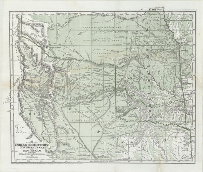
MapMaker: |
Josiah Gregg
|
|
| |
| |
Subject: |
South Central United States, Texas, Indian Territory |
|
| |
Period/Size: |
1844 / 12.8" x 15.6" (32.6 x 39.7 cm)
|
|
| |
Color: |
Colored
|
|
| |
Condition: |
(B) Issued folding on a bright sheet with professional repairs to a long tear that extends across the entire upper-middle portion of the map as well as a few fold separations. (condition help) |
|
| |
Source: |
Commerce of the Prairies |
|
| |
References: |
Wheat (TMW) #482; Wagner & Camp #108.1; Howes #G401. |
|
| |
|
|
| Sales Information |
| |
| |
Price: |
|
|
| |
| |
Offered by: |
Old World Auctions |
|
| |
Catalog: |
Auction No. 191 - Antique Maps, Charts, Atlases & Globes (9561) |
|
| |
Lot/Item #: |
197 |
|
| |
| |
Date: |
02/2023
|
|
| |
| |
|