| Item Detail |
| |
| |
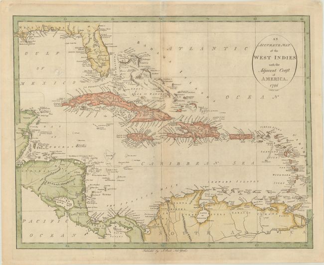
MapMaker: |
John Reid
|
|
| |
| |
Subject: |
Caribbean |
|
| |
Period/Size: |
1796 / 13.9" x 17.6" (35.3 x 44.7 cm)
|
|
| |
Color: |
Colored
|
|
| |
Condition: |
(B+) A nice impression on a lightly toned sheet with the watermark of "J. Honig & Zoonen." There are a few centerfold separations that have been repaired on verso with archival materials. (condition help) |
|
| |
Source: |
The American Atlas |
|
| |
References: |
Phillips (Atlases) #1216-20; Wheat & Brun #697. |
|
| |
|
|
| Sales Information |
| |
| |
Price: |
|
|
| |
| |
Offered by: |
Old World Auctions |
|
| |
Catalog: |
Auction No. 191 - Antique Maps, Charts, Atlases & Globes (9561) |
|
| |
Lot/Item #: |
379 |
|
| |
| |
Date: |
02/2023
|
|
| |
| |
|