| Item Detail |
| |
| |
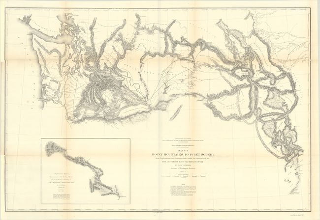
MapMaker: |
Isaac Ingalls Stevens
|
|
| |
| |
Subject: |
Northwestern United States, Washington |
|
| |
Period/Size: |
1853-54 / 24.6" x 36.6" (62.5 x 93.0 cm)
|
|
| |
Color: |
Black & White
|
|
| |
Condition: |
(B+) Issued folding, with light toning along the folds and binding trims in the left margin that have been replaced with paper. Fully backed in archival tissue to repair some fold separations and small chips and tears. (condition help) |
|
| |
Source: |
U.S. Pacific Railroad Surveys |
|
| |
References: |
Wheat (TMW) #866. |
|
| |
|
|
| Sales Information |
| |
| |
Price: |
|
|
| |
| |
Offered by: |
Old World Auctions |
|
| |
Catalog: |
Auction No. 191 - Antique Maps, Charts, Atlases & Globes (9561) |
|
| |
Lot/Item #: |
225 |
|
| |
| |
Date: |
02/2023
|
|
| |
| |
|