Title:
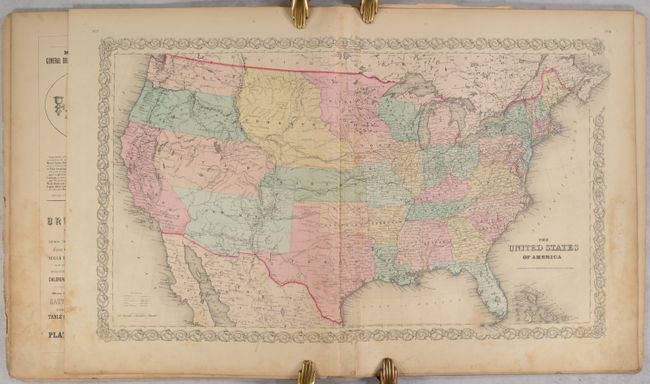
“Colton's Atlas of America, Illustrating the Physical and Political Geography of North and South America and the West India Islands...”
Map Maker:
Joseph Hutchins Colton
This attractive folio atlas was “limited to one th... (full text available to subscribers)
| Item Detail |
| |
| |
MapMaker: |
Joseph Hutchins Colton
|
|
| |
| |
Subject: |
Atlases |
|
| |
Period/Size: |
1856 / 19.3" x 16.8" (49.1 x 42.7 cm)
|
|
| |
Color: |
Colored
|
|
| |
Condition: |
(C+) The maps are fair to mostly good with evidence of heavy use including light to moderate soiling and foxing that is most prominent in the lower right corners of the sheets. A few maps are heavily foxed and a couple others have pencil notations in the (condition help) |
|
| |
Source: |
|
|
| |
References: |
|
|
| |
|
|
| Sales Information |
| |
| |
Price: |
|
|
| |
| |
Offered by: |
Old World Auctions |
|
| |
Catalog: |
Auction No. 191 - Antique Maps, Charts, Atlases & Globes (9561) |
|
| |
Lot/Item #: |
826 |
|
| |
| |
Date: |
02/2023
|
|
| |
| |
|
Antique Maps - Valuation and Pricing, Descriptions, Resources |
|
Home |
Information |
Search |
Register |
Contact Us |
Site Map
Americana Exchange, Inc. © 1999 - 2024 Americana Exchange, Inc.. All rights reserved.
OldMaps.com, the OldMaps.com logo and
AMPR are service marks or registered service marks of Americana Exchange, Inc..
|