| Item Detail |
| |
| |
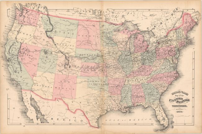
MapMaker: |
Walling & Gray
|
|
| |
| |
Subject: |
United States |
|
| |
Period/Size: |
1871 / 16.6" x 25.7" (42.2 x 65.3 cm)
|
|
| |
Color: |
Colored
|
|
| |
Condition: |
(B) There is light toning along the centerfold and a short centerfold separation at bottom that has been closed on verso with archival tape. A light dampstain is confined to the bottom blank margin, and some minor stains run along the top sheet edge. (condition help) |
|
| |
Source: |
|
|
| |
References: |
|
|
| |
|
|
| Sales Information |
| |
| |
Price: |
|
|
| |
| |
Offered by: |
Old World Auctions |
|
| |
Catalog: |
Auction No. 192 - Antique Maps, Charts, Atlases & Globes (9562) |
|
| |
Lot/Item #: |
151 |
|
| |
| |
Date: |
04/2023
|
|
| |
| |
|