| Item Detail |
| |
| |
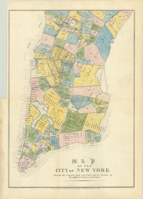
MapMaker: |
George Hayward
|
|
| |
| |
Subject: |
New York City, New York |
|
| |
Period/Size: |
1852 / 12.3" x 8.8" (31.3 x 22.4 cm)
|
|
| |
Color: |
Colored
|
|
| |
Condition: |
(A) Full contemporary color on a bright sheet, issued folding with a tiny pinhole at top right, a binding trim at left, and some staining along the left edge of the sheet where the map was glued into the manual. (condition help) |
|
| |
Source: |
Manual of the Corporation of the City of New York |
|
| |
References: |
|
|
| |
|
|
| Sales Information |
| |
| |
Price: |
|
|
| |
| |
Offered by: |
Old World Auctions |
|
| |
Catalog: |
Auction No. 192 - Antique Maps, Charts, Atlases & Globes (9562) |
|
| |
Lot/Item #: |
277 |
|
| |
| |
Date: |
04/2023
|
|
| |
| |
|