Rister or Sign In to see pricing information


Title:

Colton's General Atlas, Containing One Hundred and Seventy Steel Plate Maps and Plans, on One Hundred Imperial Folio Sheets

Map Maker:

G. W. & C.B. Colton

Colton's General Atlas, Containing One Hundred and Seventy Steel Plate Maps and Plans, on One Hundred Imperial Folio Sheets

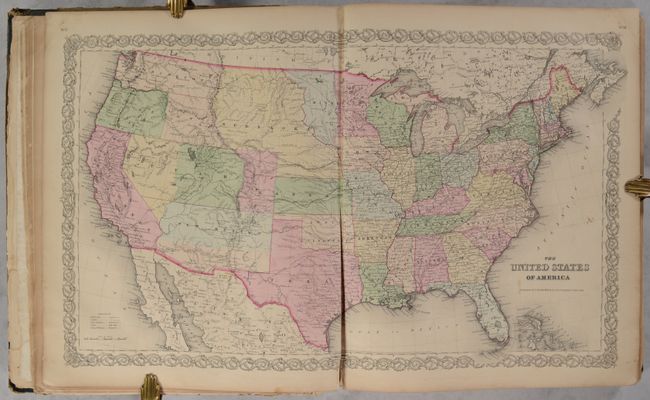
Colton's massive single-volume General Atlas
Item Detail
 
  MapMaker:  

G. W. & C.B. Colton


  Subject:  Atlases  
  Period/Size:  1859 / 18.1" x 15.1"  (46.0 x 38.4 cm)  
  Color:  Colored  
  Condition:  (B) The maps are mostly good to some very good with light toning, scattered foxing, and occasional soiling or staining. The first five maps have moderate toning and dampstaining along the sheet edges. The United States map has a 8" centerfold separation (condition help)  
  Source:   
  References:   
 
 
Sales Information
 
  Price: 

Please register your email to view records, or sign in with email address to see records


  Offered by:  Old World Auctions  
  Catalog:  Auction No. 192 - Antique Maps, Charts, Atlases & Globes (9562)  
  Lot/Item #:  748  
 
  Date:  04/2023  


Antique Maps - Valuation and Pricing, Descriptions, Resources


Home | Information | Search | Register | Contact Us | Site Map

Americana Exchange, Inc. © 1999 - 2024 Americana Exchange, Inc.. All rights reserved. OldMaps.com, the OldMaps.com logo and
AMPR are service marks or registered service marks of Americana Exchange, Inc..