| Item Detail |
| |
| |
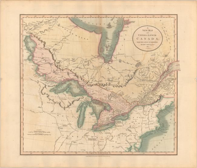
MapMaker: |
John Cary
|
|
| |
| |
Subject: |
Northeastern United States & Canada |
|
| |
Period/Size: |
1811 / 18.0" x 20.6" (45.8 x 52.4 cm)
|
|
| |
Color: |
Colored
|
|
| |
Condition: |
(B+) A crisp impression on a sturdy sheet with light offsetting and a tiny hole to the right of the title cartouche. (condition help) |
|
| |
Source: |
New Universal Atlas |
|
| |
References: |
cf. Phillips (A) #714-53. |
|
| |
|
|
| Sales Information |
| |
| |
Price: |
|
|
| |
| |
Offered by: |
Old World Auctions |
|
| |
Catalog: |
Auction No. 192 - Antique Maps, Charts, Atlases & Globes (9562) |
|
| |
Lot/Item #: |
133 |
|
| |
| |
Date: |
04/2023
|
|
| |
| |
|