| Item Detail |
| |
| |
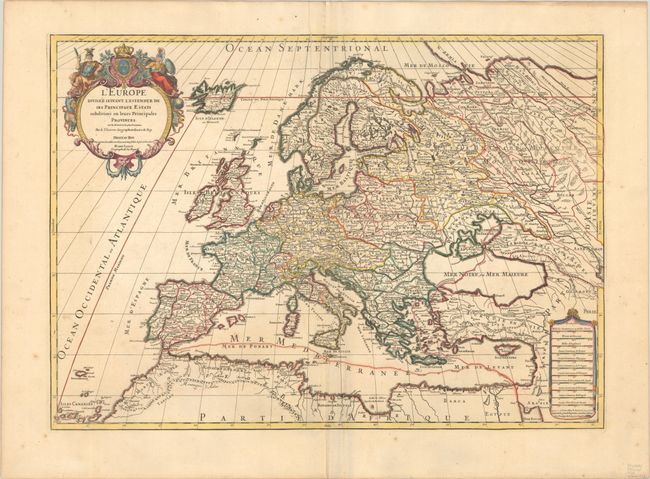
MapMaker: |
Sanson/Jaillot
|
|
| |
| |
Subject: |
Europe |
|
| |
Period/Size: |
1710 / 18.1" x 25.4" (46.0 x 64.6 cm)
|
|
| |
Color: |
Colored
|
|
| |
Condition: |
(A) A nice impression on a sturdy sheet with the watermark of a Maltese cross encircled in rosary beads. There is minor extraneous creasing along the centerfold, a printer's crease at top center, and a few spots of foxing in the blank margins. (condition help) |
|
| |
Source: |
|
|
| |
References: |
|
|
| |
|
|
| Sales Information |
| |
| |
Price: |
|
|
| |
| |
Offered by: |
Old World Auctions |
|
| |
Catalog: |
Auction No. 192 - Antique Maps, Charts, Atlases & Globes (9562) |
|
| |
Lot/Item #: |
390 |
|
| |
| |
Date: |
04/2023
|
|
| |
| |
|