| Item Detail |
| |
| |
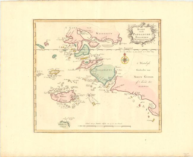
MapMaker: |
Isaac Tirion
|
|
| |
| |
Subject: |
Spice Islands & Papua New Guinea |
|
| |
Period/Size: |
1753 / 12.6" x 14.3" (32.0 x 36.4 cm)
|
|
| |
Color: |
Colored
|
|
| |
Condition: |
(A) Fine contemporary color on a sheet with very wide margins and a Strasburg Lily watermark. Slight color offsetting and a few very faint spots. (condition help) |
|
| |
Source: |
Nieuwe en Beknopte Hand Atlas |
|
| |
References: |
|
|
| |
|
|
| Sales Information |
| |
| |
Price: |
|
|
| |
| |
Offered by: |
Old World Auctions |
|
| |
Catalog: |
Auction No. 192 - Antique Maps, Charts, Atlases & Globes (9562) |
|
| |
Lot/Item #: |
639 |
|
| |
| |
Date: |
04/2023
|
|
| |
| |
|