| Item Detail |
| |
| |
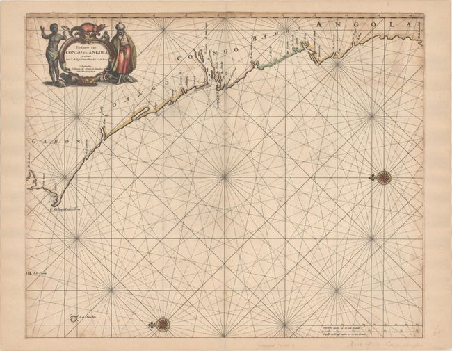
MapMaker: |
Henrick Doncker
|
|
| |
| |
Subject: |
Western Africa |
|
| |
Period/Size: |
1660 / 17.3" x 21.1" (44.0 x 53.6 cm)
|
|
| |
Color: |
Colored
|
|
| |
Condition: |
(B) Trimmed to the neatline all around and backed with old paper to create new margins, with a tiny portion of the top corners of the border drawn in facsimile. There is minor foxing and light toning. (condition help) |
|
| |
Source: |
|
|
| |
References: |
|
|
| |
|
|
| Sales Information |
| |
| |
Price: |
|
|
| |
| |
Offered by: |
Old World Auctions |
|
| |
Catalog: |
Auction No. 192 - Antique Maps, Charts, Atlases & Globes (9562) |
|
| |
Lot/Item #: |
673 |
|
| |
| |
Date: |
04/2023
|
|
| |
| |
|