| Item Detail |
| |
| |
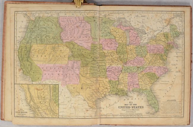
MapMaker: |
Mitchell/Cowperthwait
|
|
| |
| |
Subject: |
Atlases, Texas |
|
| |
Period/Size: |
1851 / 12.0" x 9.6" (30.5 x 24.4 cm)
|
|
| |
Color: |
Colored
|
|
| |
Condition: |
(B) The maps are generally good with light toning, scattered foxing, occasional dampstains, and minor soiling. The map of Texas is very good with just light toning. Covers are worn, soiled, and nearly detached. (condition help) |
|
| |
Source: |
|
|
| |
References: |
|
|
| |
|
|
| Sales Information |
| |
| |
Price: |
|
|
| |
| |
Offered by: |
Old World Auctions |
|
| |
Catalog: |
Auction No. 192 - Antique Maps, Charts, Atlases & Globes (9562) |
|
| |
Lot/Item #: |
746 |
|
| |
| |
Date: |
04/2023
|
|
| |
| |
|