| Item Detail |
| |
| |
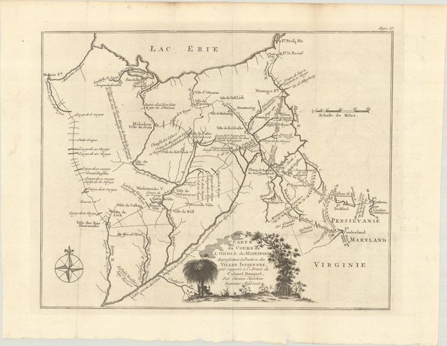
MapMaker: |
Capt. Thomas Hutchins
|
|
| |
| |
Subject: |
Ohio |
|
| |
Period/Size: |
1769 / 9.7" x 12.1" (24.7 x 30.8 cm)
|
|
| |
Color: |
Black & White
|
|
| |
Condition: |
(A) A crisp impression, issued folding on a bright, watermarked sheet with a couple of tiny holes at fold intersections and light soiling along the edges of the sheet. (condition help) |
|
| |
Source: |
Relation Historique de l'Expedition, Contre les Indiens de l'Ohio en MDCCLXIV |
|
| |
References: |
Howes #S-693; Sabin #84647; Smith (Mapping of Ohio) pp. 21 & 59-60. |
|
| |
|
|
| Sales Information |
| |
| |
Price: |
|
|
| |
| |
Offered by: |
Old World Auctions |
|
| |
Catalog: |
Auction No. 192 - Antique Maps, Charts, Atlases & Globes (9562) |
|
| |
Lot/Item #: |
288 |
|
| |
| |
Date: |
04/2023
|
|
| |
| |
|