| Item Detail |
| |
| |
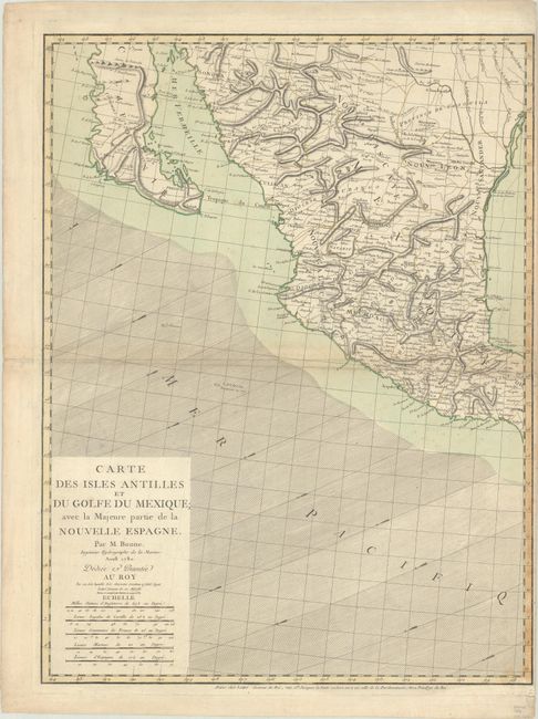
MapMaker: |
Bonne/Lattre
|
|
| |
| |
Subject: |
Western Mexico |
|
| |
Period/Size: |
1780 / 25.8" x 19.5" (65.6 x 49.6 cm)
|
|
| |
Color: |
Colored
|
|
| |
Condition: |
(B+) On watermarked paper with a Maltese Cross encircled by rosary beads. There is light scattered foxing and a couple of small centerfold separations near the sheet edges that have been archivally repaired on verso. (condition help) |
|
| |
Source: |
|
|
| |
References: |
|
|
| |
|
|
| Sales Information |
| |
| |
Price: |
|
|
| |
| |
Offered by: |
Old World Auctions |
|
| |
Catalog: |
Auction No. 190 - Antique Maps, Charts, Atlases & Globes (9560) |
|
| |
Lot/Item #: |
263 |
|
| |
| |
Date: |
11/2022
|
|
| |
| |
|