| Item Detail |
| |
| |
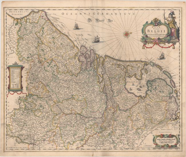
MapMaker: |
Jan Jansson
|
|
| |
| |
Subject: |
Low Countries |
|
| |
Period/Size: |
1640 / 17.6" x 21.6" (44.7 x 54.9 cm)
|
|
| |
Color: |
Colored
|
|
| |
Condition: |
(B+) Full contemporary color with light soiling, some extraneous creasing along the centerfold, and an archivally repaired centerfold separation at bottom. (condition help) |
|
| |
Source: |
|
|
| |
References: |
Van der Krogt (Vol. I) #3000:1D.1. |
|
| |
|
|
| Sales Information |
| |
| |
Price: |
|
|
| |
| |
Offered by: |
Old World Auctions |
|
| |
Catalog: |
Auction No. 190 - Antique Maps, Charts, Atlases & Globes (9560) |
|
| |
Lot/Item #: |
399 |
|
| |
| |
Date: |
11/2022
|
|
| |
| |
|