| Item Detail |
| |
| |
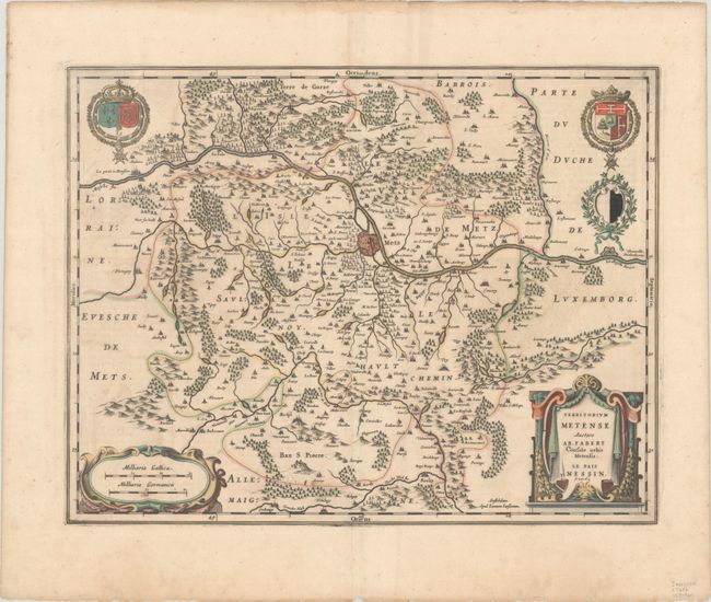
MapMaker: |
Jan Jansson
|
|
| |
| |
Subject: |
Northeastern France |
|
| |
Period/Size: |
1646 / 15.0" x 19.4" (38.1 x 49.3 cm)
|
|
| |
Color: |
Colored
|
|
| |
Condition: |
(B+) A dark impression with full contemporary color, light offsetting, a bit of toning and soiling, and an old manuscript notation in brown ink in cartouche attributing the map to Hondius. Paper is thin along centerfold where the backstrap has been remov (condition help) |
|
| |
Source: |
Atlas Novus |
|
| |
References: |
Van der Krogt (Vol. I) #4270:1B.2. |
|
| |
|
|
| Sales Information |
| |
| |
Price: |
|
|
| |
| |
Offered by: |
Old World Auctions |
|
| |
Catalog: |
Auction No. 190 - Antique Maps, Charts, Atlases & Globes (9560) |
|
| |
Lot/Item #: |
420 |
|
| |
| |
Date: |
11/2022
|
|
| |
| |
|