| Item Detail |
| |
| |
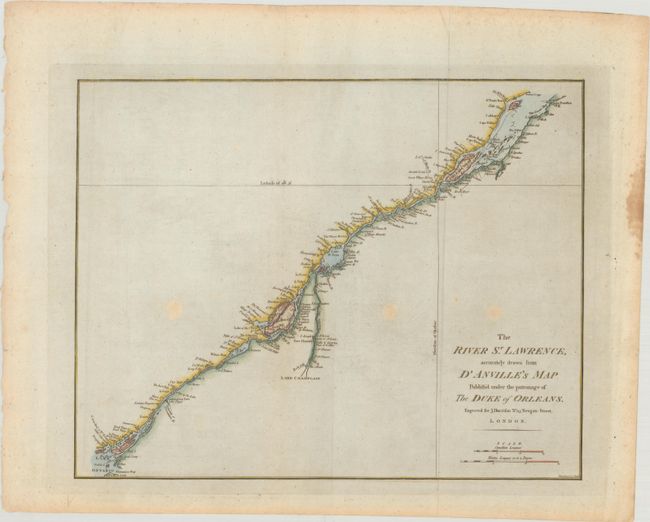
MapMaker: |
John Harrison
|
|
| |
| |
Subject: |
St. Lawrence River, Canada |
|
| |
Period/Size: |
1784 / 13.2" x 16.6" (33.6 x 42.2 cm)
|
|
| |
Color: |
Colored
|
|
| |
Condition: |
(B+) There are three light spots in unengraved areas of the map, and a stain along the right edge of the sheet. (condition help) |
|
| |
Source: |
Atlas to Accompany Rapin's History of England |
|
| |
References: |
Kershaw #681; Phillips (Atlases) #5206-20; Sellers & Van Ee #251. |
|
| |
|
|
| Sales Information |
| |
| |
Price: |
|
|
| |
| |
Offered by: |
Old World Auctions |
|
| |
Catalog: |
Auction No. 190 - Antique Maps, Charts, Atlases & Globes (9560) |
|
| |
Lot/Item #: |
91 |
|
| |
| |
Date: |
11/2022
|
|
| |
| |
|