| Item Detail |
| |
| |
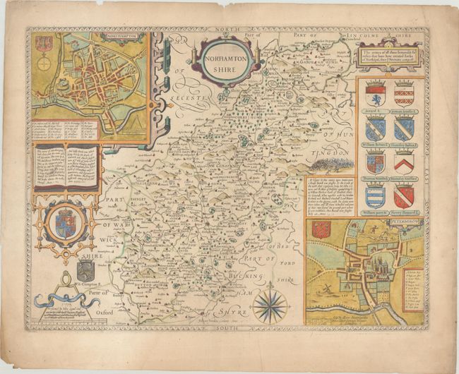
MapMaker: |
John Speed
|
|
| |
| |
Subject: |
Central England |
|
| |
Period/Size: |
1713 / 14.9" x 19.8" (37.9 x 50.3 cm)
|
|
| |
Color: |
Colored
|
|
| |
Condition: |
(B+) Minor toning on a sheet with a Strasburg Bend & Lily watermark and soiling that is mostly confined to the blank margins. There is some minor extraneous creasing and a few small chips along the edges of the sheet. (condition help) |
|
| |
Source: |
England Fully Described in a Compleat Sett of Mapps |
|
| |
References: |
Shirley (BL Atlases) T.SPE-1l. |
|
| |
|
|
| Sales Information |
| |
| |
Price: |
|
|
| |
| |
Offered by: |
Old World Auctions |
|
| |
Catalog: |
Auction No. 190 - Antique Maps, Charts, Atlases & Globes (9560) |
|
| |
Lot/Item #: |
343 |
|
| |
| |
Date: |
11/2022
|
|
| |
| |
|