| Item Detail |
| |
| |
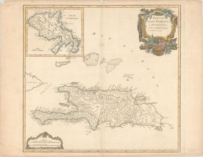
MapMaker: |
Gilles Robert de Vaugondy
|
|
| |
| |
Subject: |
Hispaniola & Martinique |
|
| |
Period/Size: |
1784 / 19.0" x 20.3" (48.3 x 51.6 cm)
|
|
| |
Color: |
Colored
|
|
| |
Condition: |
(B+) Contemporary outline color in the map with later color in the cartouches on a sheet with a medallion watermark. There is light soiling, a couple of small worm tracks along the centerfold that have been professionally repaired, a small chip in the to (condition help) |
|
| |
Source: |
Atlas Universel |
|
| |
References: |
Pedley #480. |
|
| |
|
|
| Sales Information |
| |
| |
Price: |
|
|
| |
| |
Offered by: |
Old World Auctions |
|
| |
Catalog: |
Auction No. 190 - Antique Maps, Charts, Atlases & Globes (9560) |
|
| |
Lot/Item #: |
284 |
|
| |
| |
Date: |
11/2022
|
|
| |
| |
|