| Item Detail |
| |
| |
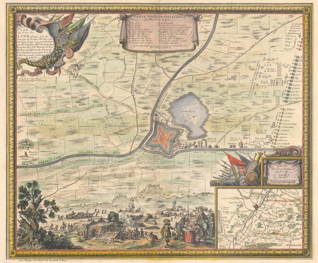
MapMaker: |
Sebastian de Pontault Sieur de Beaulieu
|
|
| |
| |
Subject: |
Northern France |
|
| |
Period/Size: |
1667 / 17.6" x 21.2" (44.7 x 53.9 cm)
|
|
| |
Color: |
Colored
|
|
| |
Condition: |
(A) A nice impression on watermarked paper with wide margins. There are faint dampstains along the bottom sheet edge and a short repaired tear along the left sheet edge, both far from map image. (condition help) |
|
| |
Source: |
Plans et Profils du Comte De Flandre... |
|
| |
References: |
Pastoureau, BEAULIEU VII Aa [10]. |
|
| |
|
|
| Sales Information |
| |
| |
Price: |
|
|
| |
| |
Offered by: |
Old World Auctions |
|
| |
Catalog: |
Auction No. 190 - Antique Maps, Charts, Atlases & Globes (9560) |
|
| |
Lot/Item #: |
415 |
|
| |
| |
Date: |
11/2022
|
|
| |
| |
|