| Item Detail |
| |
| |
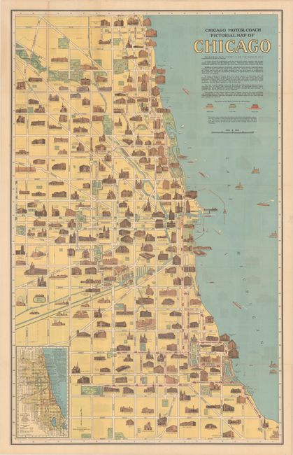
MapMaker: |
Clason Map Company
|
|
| |
| |
Subject: |
Chicago, Illinois |
|
| |
Period/Size: |
1940 / 32.8" x 20.6" (83.4 x 52.4 cm)
|
|
| |
Color: |
Colored
|
|
| |
Condition: |
(B+) Issued folding with a few minor fold separations, one of which has been closed with archival tape on recto along Lawrence Avenue. The map has separated from the covers with a minor abrasion on the verso map where it was previously glued onto the rea (condition help) |
|
| |
Source: |
|
|
| |
References: |
|
|
| |
|
|
| Sales Information |
| |
| |
Price: |
|
|
| |
| |
Offered by: |
Old World Auctions |
|
| |
Catalog: |
Auction No. 190 - Antique Maps, Charts, Atlases & Globes (9560) |
|
| |
Lot/Item #: |
214 |
|
| |
| |
Date: |
11/2022
|
|
| |
| |
|