| Item Detail |
| |
| |
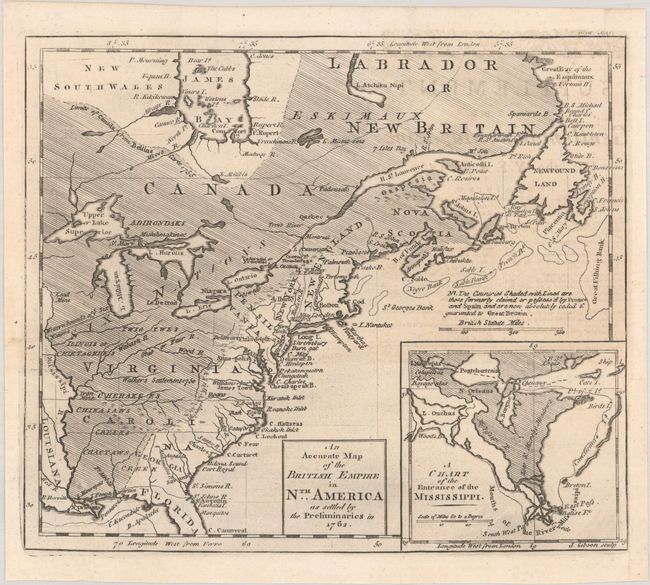
MapMaker: |
John Gibson
|
|
| |
| |
Subject: |
Colonial Eastern United States & Canada |
|
| |
Period/Size: |
1762 / 8.3" x 9.7" (21.1 x 24.7 cm)
|
|
| |
Color: |
Black & White
|
|
| |
Condition: |
(A) A crisp impression on watermarked paper with one tiny abrasion below Montreal. Issued folding and now flat with a binding trim at bottom right that has been replaced with old paper. (condition help) |
|
| |
Source: |
Gentleman's Magazine |
|
| |
References: |
Jolly #GENT-165; McCorkle #762.1; Seller & Van Ee #92. |
|
| |
|
|
| Sales Information |
| |
| |
Price: |
|
|
| |
| |
Offered by: |
Old World Auctions |
|
| |
Catalog: |
Auction No. 190 - Antique Maps, Charts, Atlases & Globes (9560) |
|
| |
Lot/Item #: |
101 |
|
| |
| |
Date: |
11/2022
|
|
| |
| |
|