| Item Detail |
| |
| |
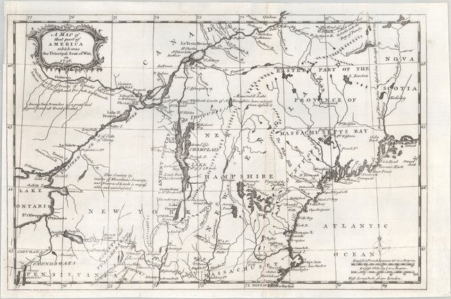
MapMaker: |
anonymous
|
|
| |
| |
Subject: |
Colonial New England & Mid-Atlantic United States |
|
| |
Period/Size: |
1757 / 8.6" x 13.1" (21.9 x 33.3 cm)
|
|
| |
Color: |
Black & White
|
|
| |
Condition: |
(A) A dark impression on a bright sheet. Issued folding and now flat. (condition help) |
|
| |
Source: |
Gentleman's Magazine |
|
| |
References: |
Jolly #GENT-102; McCorkle #757.4; Sellers & van Ee #78. |
|
| |
|
|
| Sales Information |
| |
| |
Price: |
|
|
| |
| |
Offered by: |
Old World Auctions |
|
| |
Catalog: |
Auction No. 190 - Antique Maps, Charts, Atlases & Globes (9560) |
|
| |
Lot/Item #: |
137 |
|
| |
| |
Date: |
11/2022
|
|
| |
| |
|