| Item Detail |
| |
| |
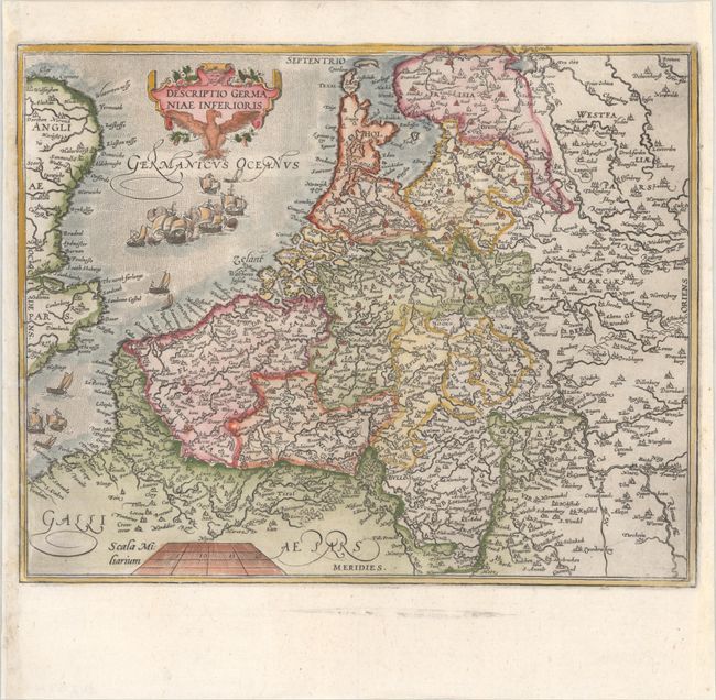
MapMaker: |
Frans Hogenberg
|
|
| |
| |
Subject: |
Low Countries |
|
| |
Period/Size: |
1599 / 9.4" x 11.7" (23.9 x 29.8 cm)
|
|
| |
Color: |
Colored
|
|
| |
Condition: |
(A) A crisp impression on a bright sheet with a single crescent moon watermark. The right and left margins have been professionally extended, and a tiny chip in the border at left has been repaired with a minor amount of the neatline in facsimile. (condition help) |
|
| |
Source: |
Historia Belgica Nostri Potissimum Temporis Belgii sub Quatuor |
|
| |
References: |
|
|
| |
|
|
| Sales Information |
| |
| |
Price: |
|
|
| |
| |
Offered by: |
Old World Auctions |
|
| |
Catalog: |
Auction No. 190 - Antique Maps, Charts, Atlases & Globes (9560) |
|
| |
Lot/Item #: |
398 |
|
| |
| |
Date: |
11/2022
|
|
| |
| |
|