| Item Detail |
| |
| |
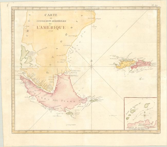
MapMaker: |
Capt. James Cook
|
|
| |
| |
Subject: |
Southern South America |
|
| |
Period/Size: |
1775 / 17.0" x 19.9" (43.2 x 50.6 cm)
|
|
| |
Color: |
Colored
|
|
| |
Condition: |
(A) A bright sheet, issued folding with the watermark of the Society of Jesus and very minor offsetting and toning. (condition help) |
|
| |
Source: |
Voyage dans l'Hemisphere Australe et Autour du Monde |
|
| |
References: |
Sabin #16249; Shirley (BL Atlases) G.COOK-3a #13. |
|
| |
|
|
| Sales Information |
| |
| |
Price: |
|
|
| |
| |
Offered by: |
Old World Auctions |
|
| |
Catalog: |
Auction No. 193 - Antique Maps, Charts, Atlases & Globes (9567) |
|
| |
Lot/Item #: |
375 |
|
| |
| |
Date: |
07/2023
|
|
| |
| |
|