| Item Detail |
| |
| |
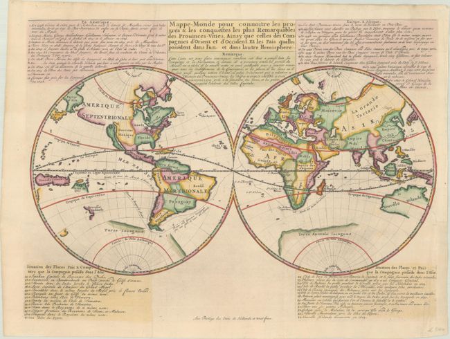
MapMaker: |
anonymous
|
|
| |
| |
Subject: |
World |
|
| |
Period/Size: |
1720 / 13.2" x 17.7" (33.6 x 45.0 cm)
|
|
| |
Color: |
Colored
|
|
| |
Condition: |
(A) A crisp impression on a sheet with a Strasburg Lily watermark, issued folding and now flattened with professional repairs to some separations along the folds, a binding trim at right, and a short binding tear also at right. (condition help) |
|
| |
Source: |
|
|
| |
References: |
Shirley #447. |
|
| |
|
|
| Sales Information |
| |
| |
Price: |
|
|
| |
| |
Offered by: |
Old World Auctions |
|
| |
Catalog: |
Auction No. 193 - Antique Maps, Charts, Atlases & Globes (9567) |
|
| |
Lot/Item #: |
16 |
|
| |
| |
Date: |
07/2023
|
|
| |
| |
|