| Item Detail |
| |
| |
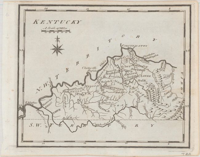
MapMaker: |
Joseph Scott
|
|
| |
| |
Subject: |
Kentucky |
|
| |
Period/Size: |
1795 / 6.1" x 7.4" (15.5 x 18.8 cm)
|
|
| |
Color: |
Black & White
|
|
| |
Condition: |
(A) Issued folding with a few minor spots and binding holes in the left blank margin. There is an old "Forbes Library, Northampton, Mass." stamp on verso. (condition help) |
|
| |
Source: |
The United States Gazetteer... |
|
| |
References: |
McCorkle (18th C. Geography Books) #279-5; Wheat & Brun #643. |
|
| |
|
|
| Sales Information |
| |
| |
Price: |
|
|
| |
| |
Offered by: |
Old World Auctions |
|
| |
Catalog: |
Auction No. 193 - Antique Maps, Charts, Atlases & Globes (9567) |
|
| |
Lot/Item #: |
258 |
|
| |
| |
Date: |
07/2023
|
|
| |
| |
|