| Item Detail |
| |
| |
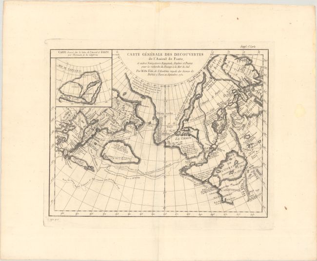
MapMaker: |
Didier Robert de Vaugondy
|
|
| |
| |
Subject: |
North Pacific Ocean |
|
| |
Period/Size: |
1772 / 11.3" x 14.6" (28.7 x 37.1 cm)
|
|
| |
Color: |
Black & White
|
|
| |
Condition: |
(A) A nice impression a bright sheet with an "M" watermark, a bit of printer's ink residue, and light stains in the wide margins, well away from map image. (condition help) |
|
| |
Source: |
Diderot's Encyclopedia (Supplement) |
|
| |
References: |
Hayes, pp. 26-27; Pedley #454. |
|
| |
|
|
| Sales Information |
| |
| |
Price: |
|
|
| |
| |
Offered by: |
Old World Auctions |
|
| |
Catalog: |
Auction No. 193 - Antique Maps, Charts, Atlases & Globes (9567) |
|
| |
Lot/Item #: |
694 |
|
| |
| |
Date: |
07/2023
|
|
| |
| |
|